Sharing of hydrographic information from surveys of parts of the Demerara and Essequibo rivers is now possible following an agreement between Guyana and the United Kingdom, which will see mariners being able to access up-to-date maps and charts.
The surveys were conducted through funding provided under the Commonwealth Marine Economy (CME) Programme, which targets seventeen islands and developing states across the Caribbean and the Pacific, to ensure that those countries are able to make effective use of their blue economies in a sustainable way.
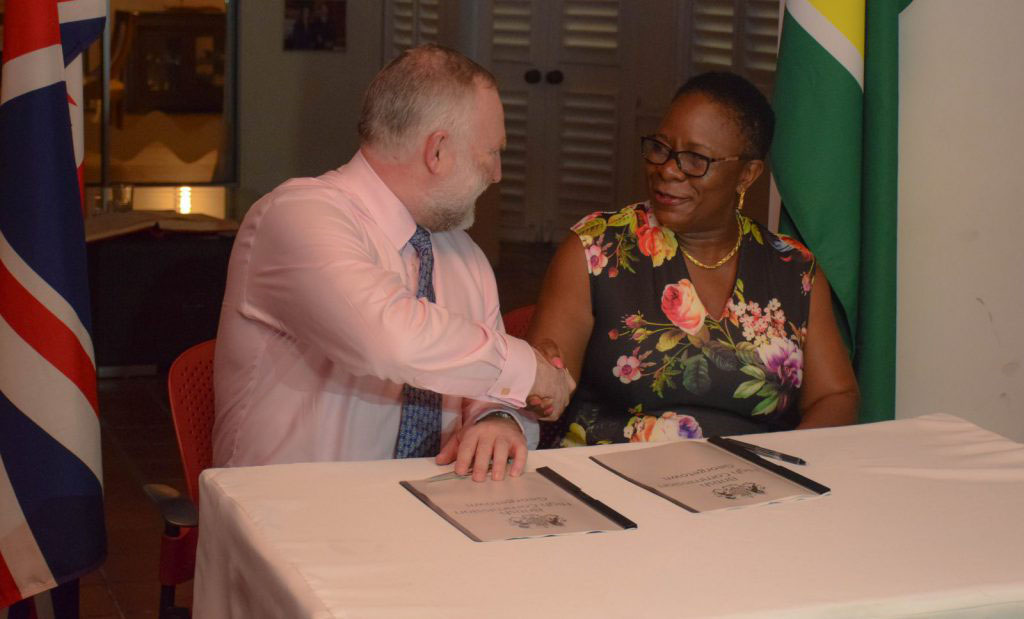
The UK’s Hydrographic Office and Guyana’s Maritime Administration Department (MARAD) on Thursday night signed a data release statement.
The signing, which was done by National Hydrographer of the UK Hydrographic Office, Rear Admiral Tim Lowe, and the Director General of the Maritime Administration Department, Claudette Rogers, took place at British High Commissioner Greg Quinn’s Bel Air Gardens residence.
Lowe, who is a navigation and underwater warfare specialist, said that given the lack of maps of oceans and sea beds, efforts are now being made to gather information, with the aim of having a better understanding of sea beds as well as to improve the environment for the mariner and others maritime users.
He said that the efforts over the past year, have resulted in the collection of a very rich and extensive data set in the Demerara River approaches to Georgetown and the Essequibo River approaches.
Lowe said this data set not only has hydrographic information to assist the mariner but also other information about the river and the sea bed as well as data pertaining to streams and currents and water columns.
He said the data collected will allow for the updating of charting for the approaches to the main ports here in Georgetown and by April of next year, three new metric charts will be available.
According to Lowe, this information will hopefully lay the groundwork for “future marine and maritime development and longtime prosperity.”
He said that the next step in the process will be a workshop to look at the data.
“The journey does not end there. This is the start of a journey,” he said while adding that as early as next year new multi-beam sonar equipment will become available under the programme, allowing Guyana to get modern data for charting, navigational support and wider maritime utilisation. Once the equipment arrives here, a team will provide training so that new data can be gathered as quickly as possible to enable the blue economy and mariners.
Grove
Rogers, in her remarks, said that under the programme, Guyana was able to access more than US$1.1 million for conducting hydrographic surveying and seabed mapping in the Demerara River and onwards to Grove, East Bank Demerara. She said this project, which began in October, 2017 and ended in February, 2018, saw collaboration among several entities both in the UK and locally.
The project, she said, will yield updated nautical maps and charts to ships before they enter the port. The traditional methods, she said, have been replaced by modern techniques which utilise a multi-beam echo sounder.
Additionally, Rogers said marine traffic is expected to increase due to the availability of updated hydro data, which will assist Guyana to maximise its economic potential, with ships increasing their cargo capacity.
Rogers informed that the second phase of the project is scheduled to commence this month and entails capacity building efforts with the involvement of local stakeholders, the Guyana Lands and Surveys Commission, and the training of local persons to conduct similar surveys in accordance with the required international standards.
Quinn, during his introductory remarks, said that the work done is of “immeasurable” importance in helping Guyana as it develops its blue economy as it will provide up-to-date and accurate survey data for two important rivers, from which the country will benefit from increased trade and be able to meet its international obligations for safety at seas.
He said that over the past two years under the CME programme, work was done with seafood distributors to help achieve marine stewardship council certification for sea bob catchers. He explained that with that certification, fishermen and sea bob processors will be able to build and maintain access to international markets. He said that the finalised certification is expected to take place by the second quarter of next year. The next step in the programme, which is being supported by the Guyana Government under the leadership of the Guyana Lands and Surveys Commission, he explained is the development of a marine economy plan, which will help Guyana make even more effective and sustainable use of its marine and coastal resources.
Quinn noted that Guyana was the first of the seventeen states to sign up with the UK to work on this plan.
The CME Programme was announced by the British Prime Minister in 2015 and subsequently launched in 2016. The other countries involved in the programme are Antigua and Barbuda, Belize, Dominica, Fiji, Grenada, Jamaica, Kiribati, Nauru, Papua New Guinea, Saint Lucia, Saint Vincent and the Grenadines, Samoa, Solomon Islands, Tonga, Tuvalu and Vanuatu.


