By Valrie Grant
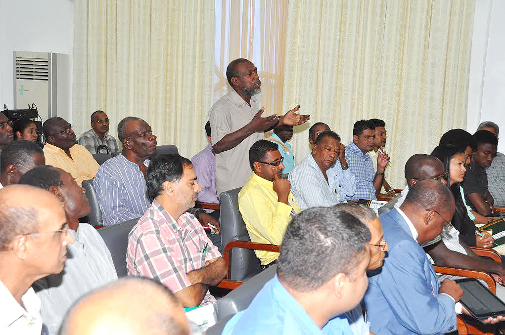
This week, members of our team are in San Diego, California to join more than 16,000 participants from 120 countries around the world at the 2015 Esri User Conference (Esri UC). These GIS professionals gather to discuss the power of maps and the application of geography in solving real-world problems.
The five-day User Conference held its first session on July 20 and will close today July 24. A variety of speakers were featured including a US presidential candidate, engineers, executives from international airports, banking executives, global first responders and a list of innovators from across every industry participated in the forum. They demonstrated how geospatial technology can make government ‘smarter,’ more able to combat global health challenges, ensure public safety, and drive greater revenues for businesses. Attendees shared ideas, experiences and best practices for improving our world through maps.
The Esri UC is the world’s biggest GIS event, covering content on how to implement and use the spatial technologies across hundreds of thousands of organizations.
Jack Dangermond, President of Esri told the forum that “we have millions of users around the globe who do amazing things with our technology every day. The User Conference is our opportunity to recognize their important work, learn from them, and empower them with even better tools and techniques to continue their mission.”
Some of the highlights of the conference included sessions on GIS and location intelligence for business. Location analytics is the ability to draw accurate conclusions from data assembled from a variety of population demographics and other data sources combined with GIS (Geographical Information Systems) mapping tools. It helps organizations predict patterns and emerging demographic trends. It helps businesses to tell a ‘better story’, increase their value and serve their customers better. With location analysis businesses can get answers to questions like: What’s the average distance of