By: Valrie Grant, Managing Director, GeoTechVision
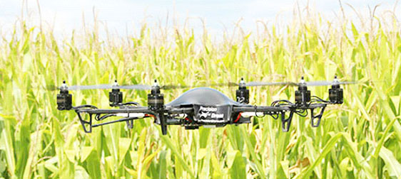
The application of Geographic Information Systems (GIS) has become all pervasive. It is used in almost everything that we do and everywhere we go. Agricul-ture is no exception. Agriculture Geographic Information System) (AGIS) makes a significant contribution to the creation of safe and efficient farming practices and to increasing yield and is particularly relevant in Guyana, one of the major farming communities in the Caribbean.
Crop cultivation and management
The greatest benefits from GIS are gained in large-scale farming. Small farms can however, use aspects of the technology to great benefit, eg in crop planting (mapping where crops are planted or to be planted) and crop rotation management. One of the most critical aspects of farming is that of managing resources efficiently. To do so, sufficient data must be gathered regarding the extent of resources available and their condition. This applies to plot size, new crop growth, soil type, crop yield, terrain topography, soil moisture content,
