Sharing of hydrographic information from surveys of parts of the Demerara and Essequibo rivers is now possible following an agreement between Guyana and the United Kingdom, which will see mariners being able to access up-to-date maps and charts.
The surveys were conducted through funding provided under the Commonwealth Marine Economy (CME) Programme, which targets seventeen islands and developing states across the Caribbean and the Pacific, to ensure that those countries are able to make effective use of their blue economies in a sustainable way.
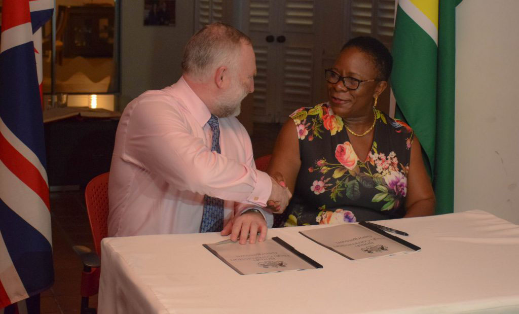
The UK’s Hydrographic Office and Guyana’s Maritime Administration Department (MARAD) on Thursday night signed a data release statement.
