Kamarang is one of two best-known gold-mining locations in Region Seven’s Upper Mazaruni District. It is, as well, one of thirteen Amerindian villages situated at the confluence of the Kamarang and Mazaruni rivers, the others being Arau, Kaikan, Paruima, Waramadong, Kato, Jawalla, Phillipai, Chinoweing, Kato, Wax Creek, Imbaimadai and Isseneru.
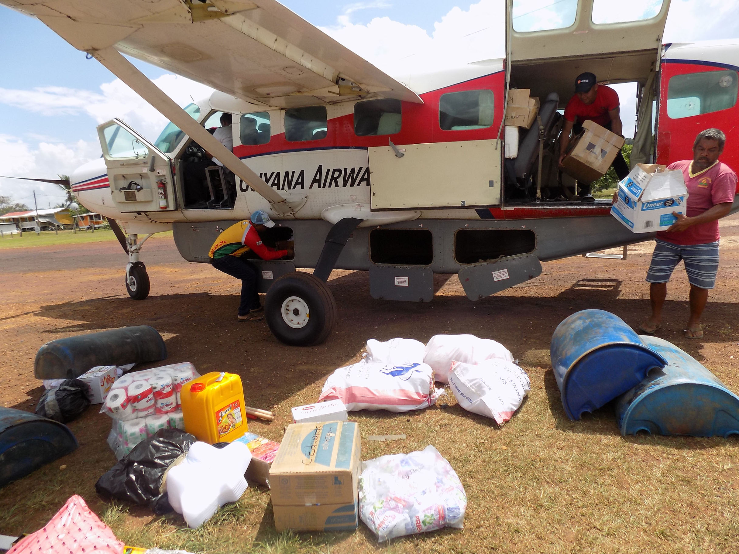
Kamarang, however, is the location where myriad influences converge, notably, economic ones. The village extends almost precisely to the length of its contiguous airstrip and is home to a population of around six hundred persons. The half a dozen or so businesses that serve the community hug the perimeter of the airstrip. All of this is situated in an area known as The Government Compound. No one could tell us the length of the airstrip but its paved surface is believed to measure around 1220 metres. When we arrived there last week, an operation to extend the strip was in progress. Mining aside, some Upper Mazaruni residents are energetic farmers.
