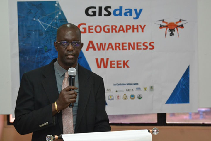
Guyana Lands and Surveys Commission (GLSC), Commissioner, Trevor Benn has called for the greater use of Geographic Information Systems (GIS).
He was speaking at a recent GIS Day hosted at the University of Guyana, according to the Department of Public Information (DPI).
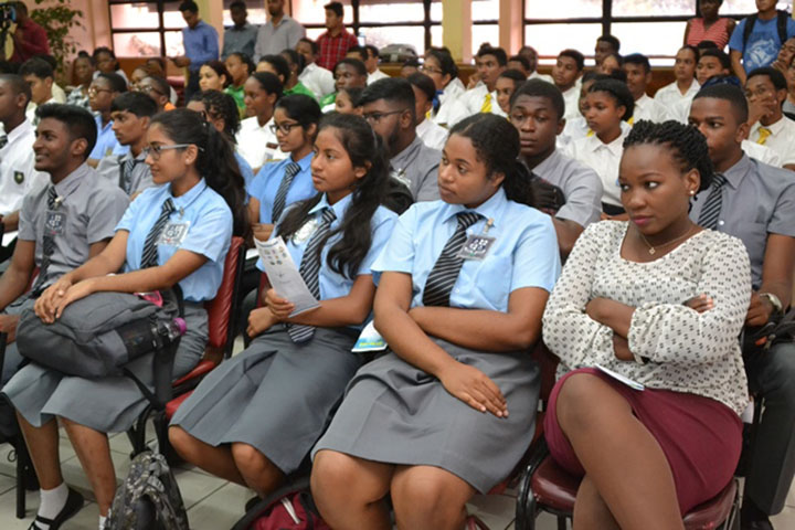
The event was held at the Turkeyen campus and was attended by students of the university as well as secondary school students.
Benn emphasised that Guyana cannot continue to take a manual approach when conducting surveys since there was technology available for that purpose. He charged the students present to take up the mantle of advocating for the use of GIS, the DPI release added.
“As students of secondary schools and students of the University of Guyana, it is important that you play the role of helping to promote GIS, helping others to understand its purposes, its use and helping to make sure that the policymakers understand its importance,” the Commissioner was quoted as saying. He also stressed the importance of having the subject of Geography being taught as early as the primary level in schools.
The Commissioner said that the GLSC is embarking on the establishment of a GIS Centre of Excellence which should be operational by the end of 2019. This he said is a collaboration between the University of Guyana and the Commission, the DPI stated.
In addition, the GLSC has begun work on its GIS policy, the first of its kind in Guyana and has already conducted a number of stakeholder consultations.
According to Benn, the policy will be helpful for surveying purposes as well as a number of other uses which include, health, education, agriculture, disaster preparedness and search and rescue.
He went on to state that, “GIS can tell us if there is a malaria outbreak and the exact location if we use the tool properly. It will tell us exactly where the hotspots are for malaria or any sickness for that matter. GIS is able to tell us in more precise terms, where are the schools in the country and so if you are looking for a particular kind of school and if the tool is used properly, we will be able to do that.”
However, Benn noted that in order for Guyana to be on par with the rest of the world, a lot of work needed to be done. This includes updating Guyana’s base maps which have been unchanged since the 1960’s. He noted that the GLSC is in the process of updating the maps so that the information can be more relevant. He informed the gathering that it would cost approximately $16.5 Billion (US$79 million) to re-map the entire country but despite the cost, it was a worthwhile investment.