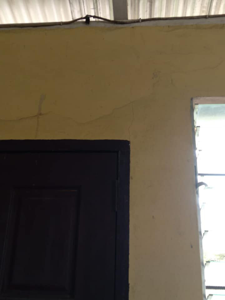
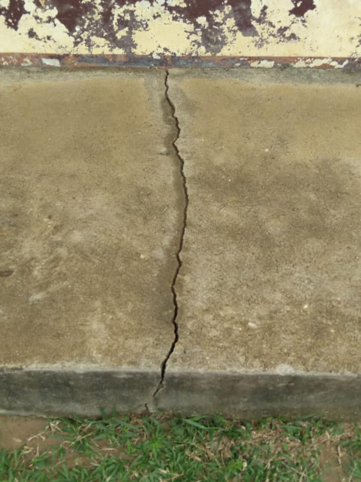
The ever widening cracks in the walls of 27 houses as well as the Sawariwau Primary School in Katoonarib are visible evidence of Sunday’s 5.7 magnitude earthquake in the Deep South Rupu-nuni, as the community continues to experience aftershocks.
According to a statement from the South Rupununi District Council (SRDC) yesterday, the tremors have been continuous and residents living within the area are being urged to exercise caution and remain vigilant.
The SRDC had noted that residents living around the epicentre have not been able to sleep well at nights since the earthquake rocked the region last Sunday. It was also observed that the cracks on the ground are slowly widening.
Sunday’s earthquake left two homes devastated in Katoonarib and at least seven persons homeless.
The communities have reported still hearing explosive noises in proximity to the Rupununi River. Many villagers remain afraid and fearful of what a recurrence could do to the communities.
Head of the Civil Defence Commission (CDC) Kester Craig yesterday told Stabroek News that a team comprising a geologist, CDC officers, and representatives from the Ministry of Natural Resources, are scheduled to be in the communities today on a fact-finding mission.
According to Craig, the team will conduct assessments to determine the cause of the continuous tremors and gather information to compile a report on what is happening in the communities.
He also explained that the CDC is also in contact with the University of West Indies Seismic Research Centre and based on the findings from the assessment it will be determined if researchers from the UWI will provide assistance or conduct an independent assessment.
The CDC had said that the assessment will be able to determine future actions which will equip the agency with the knowledge and data to “conduct earthquake preparedness and response planning and training, evacuation drills and exploring the possibility of developing earthquake-resilient infrastructure codes for that Region and by extension Guyana.”
At approximately 3.05 pm on Sunday, the earthquake was felt in most of southern Guyana and neighbouring Brazil and Venezuela.
The quake was likely the strongest to have been registered in Guyana in many years and was felt all the way to the capital city on the coast.
The United States Geological Survey (USGS) rated the earthquake as 5.7 on the Richter scale and located the epicentre at 83 km south east of Lethem.
The European Mediterranean Seismological Centre also listed the earthquake at 5.7 and registered eight aftershocks.
The earthquake recorded a shallow depth of 9.7 km and lasted for several minutes and was felt in regions, 4,6,7,9 and 10.
The Regional Democratic Council has also communicated that it will assist in the rehabilitation of the homes that are damaged. Construction materials were being deployed to the communities, Regional Executive Officer, Karl Singh, told the CDC.