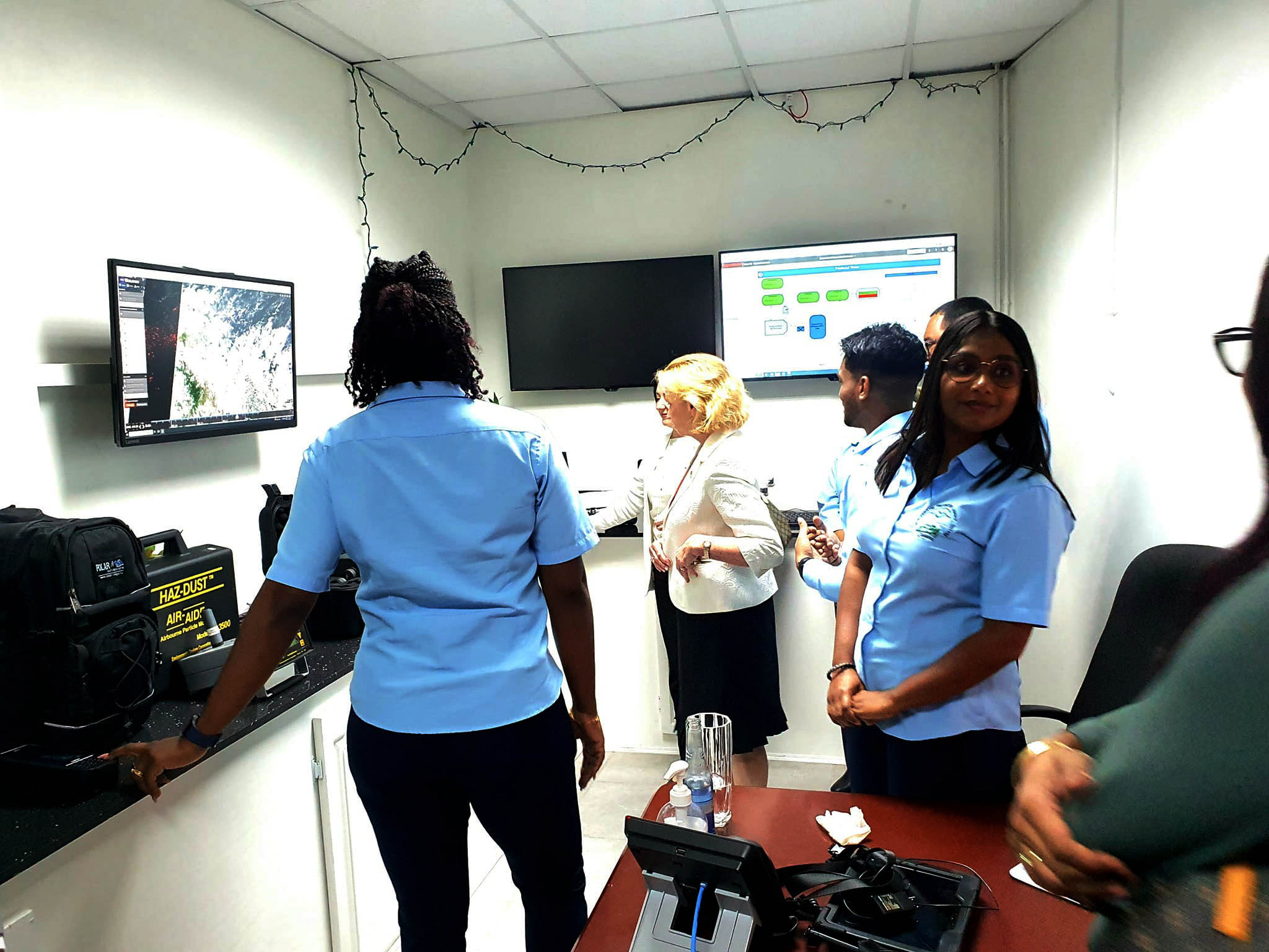
The Government of Guyana on Tuesday launched a partnership with US company Maxar Technologies for satellite imagery of offshore oil operations and other areas.
A release from the Ministry of Natural Resources on Thursday said that the Government of Guyana is steadfast in its support of technology and its use by the regulatory agencies.
The release said that this “unwavering commitment” was displayed on Tuesday at the launch of the Maxar Technologies partnership.
Maxar’s monitoring capabilities will play a crucial role in ensuring the sustainable and environmentally responsible management of offshore oil, the release said. The company is based in Colorado in the United States.
The contract also includes provisions that will allow the Guyana Forestry Commission to utilize Maxar’s technology to combat illegal deforestation, preserve mangroves, and protect the country’s rich biodiversity. These are key aspects of Guyana’s low carbon development trajectory.
“Maxar’s geospatial data and analytics will aid Guyana in safeguarding the environment for future generations while also promoting the sustainable development of Guyana’s natural resources for long-term economic benefits. A key benefit of utilizing these technologies is that a physical presence is not needed to monitor compliance”, the release added.
Over the course of three years, key agencies in Guyana will receive satellite imagery access, training, oil spill detection services and satellite tasking abilities. These tools will elevate their abilities to make informed decisions, the release added.