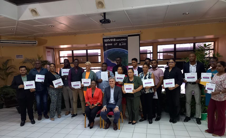
Eighteen people on Thursday graduated from a Geospatial Capacity Building Programme, which was a joint initiative facilitated by the University of Guyana (UG) and SERVIR- Amazonia at the UG Education Lecture Theatre, Turkeyen Campus.
The programme was geared at delivering training that will increase the capacity of stakeholders in Guyana to develop services and share data focused on mangroves and hydrological events.
The 12 training sessions enabled participants to understand geographic information systems (GIS) and the use of QGIS, interpretation and understanding of moderate and high-resolution satellite imagery and synthetic aperture radar data, an overview of the Google Earth Engine platform and methodological approaches for mangrove and flood mapping and change detection.
GIS Remote Service Analyst Basantie Sukhu during a power-point presentation on deforestation, which she noted is a global phenomenon, alluded to contributing factors such as mining and logging. She noted that mining is the largest contributing factor to deforestation worldwide and suggested that it should be monitored as it can continuously impact climate change and biodiversity.
Sukhu also made reference to the dynamics of forest management, a branch of forestry which involves the protection and restoration of forests and other vital ecosystems. She noted that individuals who work in forest management are responsible for monitoring the health of different ecosystems and developing strategies to protect local flora and fauna, in addition to the people and animals that live near a protected area.
Mangrove conservation was another area of focus, which Sukhu briefly presented on.
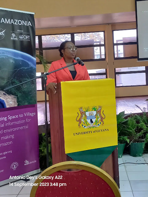
Assistant Dean of the Faculty of Earth and Environmental Sciences Esan Hamer in his address on climate change referenced the current EL Nino situation (dry season) which is affecting several countries in the temperate and tropical zones.
He detailed that the training presented the opportunity for participants to conduct introductory content on remote sensing and GIS including introduction to Google Earth Engine, Remote Sensing with High Resolution Imagery, QGIS, Introduction to Radar, and Radar for mangrove and flood monitoring across six online workshops.
Guyana has been susceptible to floods and droughts. It has experienced many floods in recent years that are heavily influenced by La Niña events. The country’s low-lying coastline, which in some areas is 2 m below sea level, causes flooding to be an imminent threat. Sea level rise will lead to inundation of coastal areas, saline intrusion into surface and ground water sources and overtopping of existing sea defences.
Against this background Hamer noted that climate change can potentially have socio-economic impacts on any country and this is where geospatial technology can aid in detecting the vulnerability of communities through the detection of natural hazards and its severities.
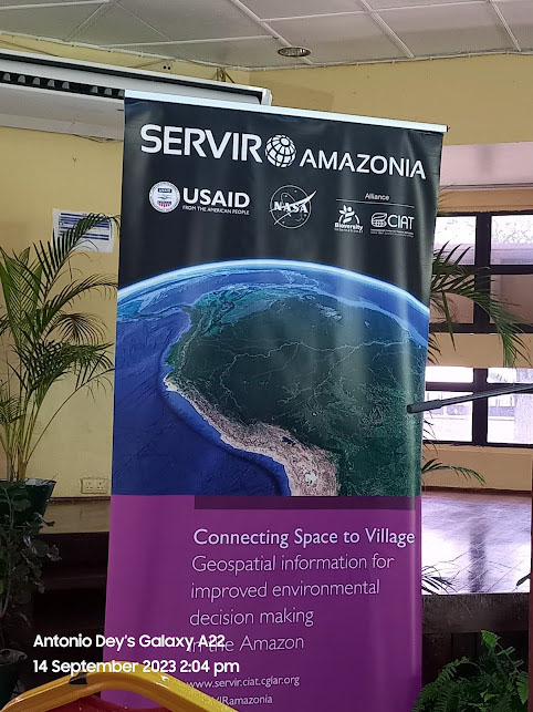
Dr Vanessa Martin Representative from the National Aeronautics and Space Administration (NASA) said that NASA in partnership with SERVIR-Amazonia and USAID has already initiated the use of geospatial and satellite technologies which will help to track environmental changes in near real-time, evaluate the impact of climatic threats on resources, and rapidly respond to natural disasters.
UG Vice Chancellor Dr Paloma Mohammed, who appeared virtually, lauded the initiative since the programme also piqued the interest of UG students majoring in Earth and Environmental Sciences.
She reasoned that this new development would aid in sensitising students in understanding the dynamics of geospatial technology.
Meanwhile Linda Johnson- Bhola Dean of the Faculty of Earth and Environmental Sciences in her closing remarks dubbed the training session successful. She said students specialising in Earth and Environmental Science can now acquire additional knowledge of using geospatial technology and apply it to effectively monitor climate change. (Antonio Dey)